Making up 5% of London’s roads, but carrying up to 30% of the city’s traffic, red routes are an important part of journeys across the capital. Red routes help reduce congestion and ensure crucial deliveries and journeys can be made safely to keep the city moving. It is a common misconception that these major arterial routes with single and double red lines are no stopping at all times. However, TfL who manages restrictions on red routes, do in fact allow parking along them in specified areas, for specified periods, when their use will not cause any major disruption to the capital’s busy road network.
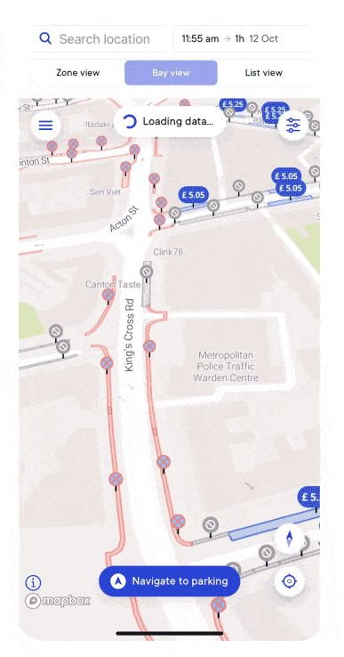
AppyWay and their driver app, AppyParking+, enables drivers and fleets to access detailed parking restriction information for all 32 London boroughs. Helping them to find and navigate to parking quickly and efficiently, in turn reducing mileage, fuel usage and congestion. To cover all of London’s kerbside, AppyWay reached out to TfL to understand more about parking on red routes.
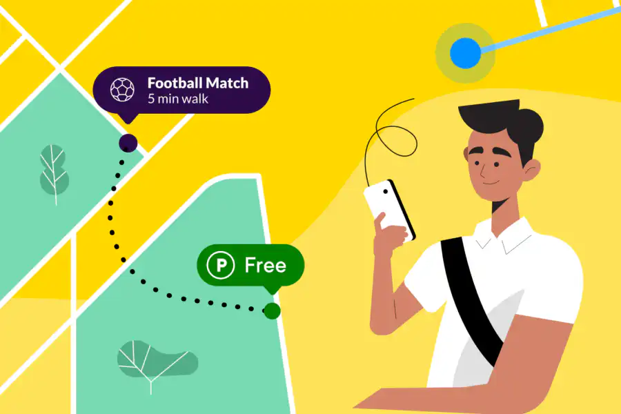
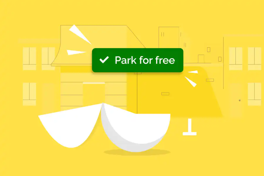
With their help, the AppyParking+ app now displays all red route parking information for London. This exciting development means drivers in London can experience improved journeys around the capital. Delivery services, trades and more can safely load and unload, and blue badge holders can park, pick up or drop off much closer to their destinations.
Now live within the app, AppyWay Founder & CEO Dan Hubert comments,
”Through AppyParking+ we have proven the importance of putting kerbside data into the hands of London’s drivers. Everyday drivers can make informed travel decisions, and fleets are able to optimise their operations. This means fewer miles are driven by today’s transport, and drivers transitioning faster to carbon-zero options. Red route data is another piece of this all-important kerbside puzzle and we’re thrilled to be sharing this information with users of AppyParking+